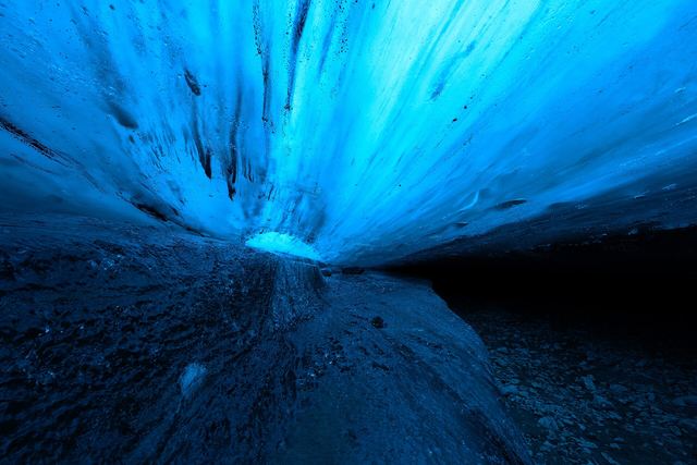
Iceland's ice caves, month by month, with every claim sourced
An independent, source-linked guide to Iceland's ice caves, ice tunnel and glacier hikes. We list what operators and Icelandic authorities say, with dates, and leave out anything we could not verify.

Ice Caves in Iceland by Month: What's Actually Open (and Safe) in 2026
Month-by-month table of Iceland's main ice cave and glacier tour areas (Breiðamerkurjökull, Katla/Kötlujökull, the Langjökull ice tunnel, Sólheimajökull), using official rules, scientists' warnings and operators' own season claims, each sourced and dated.
The year at a glance
- In season (official or operator)
- Shoulder / uncertain / sources disagree
- Not permitted, or scientists warn against
Colours summarise the table below, one cell per month. Tap a month to jump to its row; every cell there links to its source. Conditions are assessed daily, so a green month is not a promise.
Caves & glaciers
All areas →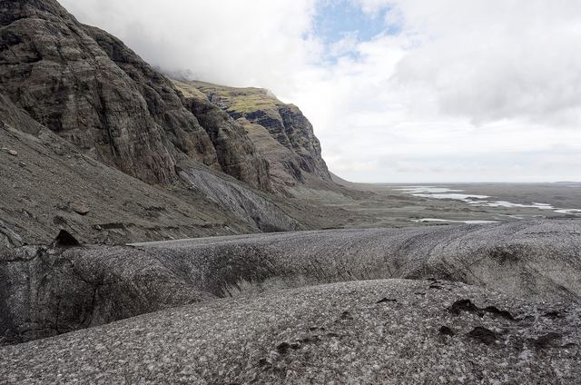 Glacier area
Breiðamerkurjökull ice caves: season, rules and what changed after 2024
Iceland's best-known natural ice caves, near Jökulsárlón in Vatnajökull National Park: the permitted 1 Oct – 30 Apr window, the daily safety check, guide requirements, and the facts of the fatal August 2024 collapse, all sourced.
 Glacier area
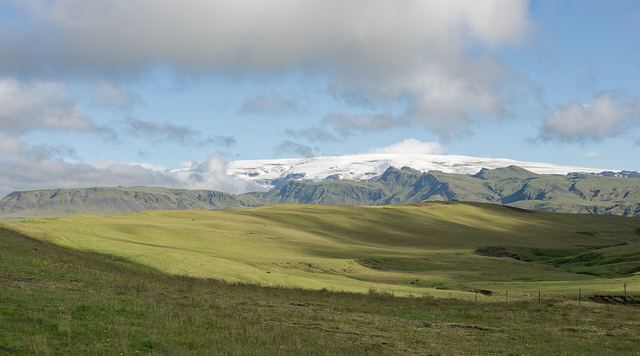
Katla ice cave (Kötlujökull): sold all year, but read the summer warnings
The Katla ice cave near Vík is sold as a year-round tour. Here is what operators say, what the Icelandic Met Office and University of Iceland warn about summer tours and glacial floods, and the 2026 Múlakvísl gas warning, all sourced.
 Glacier area
Into the Glacier: the man-made ice tunnel in Langjökull
The Langjökull ice tunnel is man-made and its operator runs it year-round. Here are the departure points, the summer and winter road rules (road 550 closed October–June), age limits and the listed price, sourced from the operator.
 Glacier area
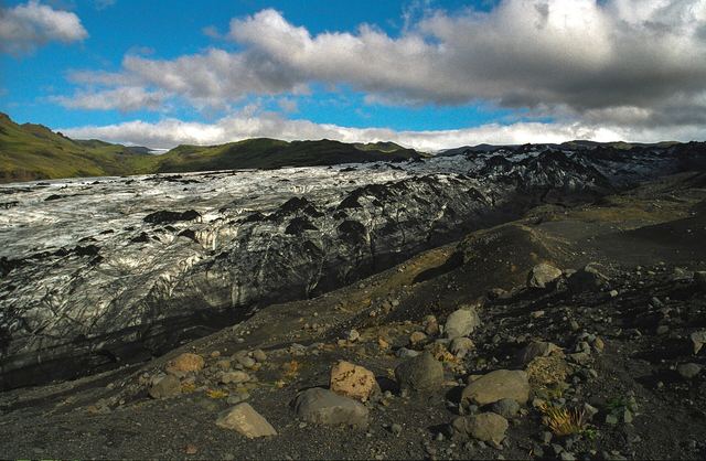
Sólheimajökull: glacier hikes, and the July 2026 hazard warning
Sólheimajökull is Iceland's easiest-to-reach glacier tongue for guided hikes. In July 2026 the Icelandic Met Office warned of an unstable ice ridge, a new lagoon and rockfall, and operators cancelled trips. Here is what is verified.
Month guides
All months →- Jancoming soon
- Febcoming soon
- Marcoming soon
- Aprcoming soon
- Maycoming soon
- Juncoming soon
- Julcoming soon
- Augcoming soon
- Sepcoming soon
- Octguide
- Novguide
- Decguide
Guides
- Guide
How to choose an ice cave or glacier tour: what to check
A checklist built from official requirements and operators' published terms: park contract, guide qualifications, group size, age limits, cancellation terms, natural cave vs. man-made tunnel, and season.
- Guide
Visiting an ice cave from Reykjavík
Which ice caves you can reach from Reykjavík in a day, using operators' own durations and prices with dates: Into the Glacier, Katla, Vatnajökull and Perlan's indoor cave.
- Guide
Ice cave and glacier safety: start with the official sources
Where to find official, current safety information for Iceland's ice caves and glaciers (Safetravel, Vatnajökull National Park, the Icelandic Met Office) and the hazards those sources name. We don't give safety advice beyond what they say.
- Guide
Can you see an ice cave in Iceland in summer?
Natural ice cave tours in Vatnajökull National Park are only allowed 1 Oct – 30 Apr (draft terms). What operators sell in summer, what scientists warn, and the man-made and indoor options.